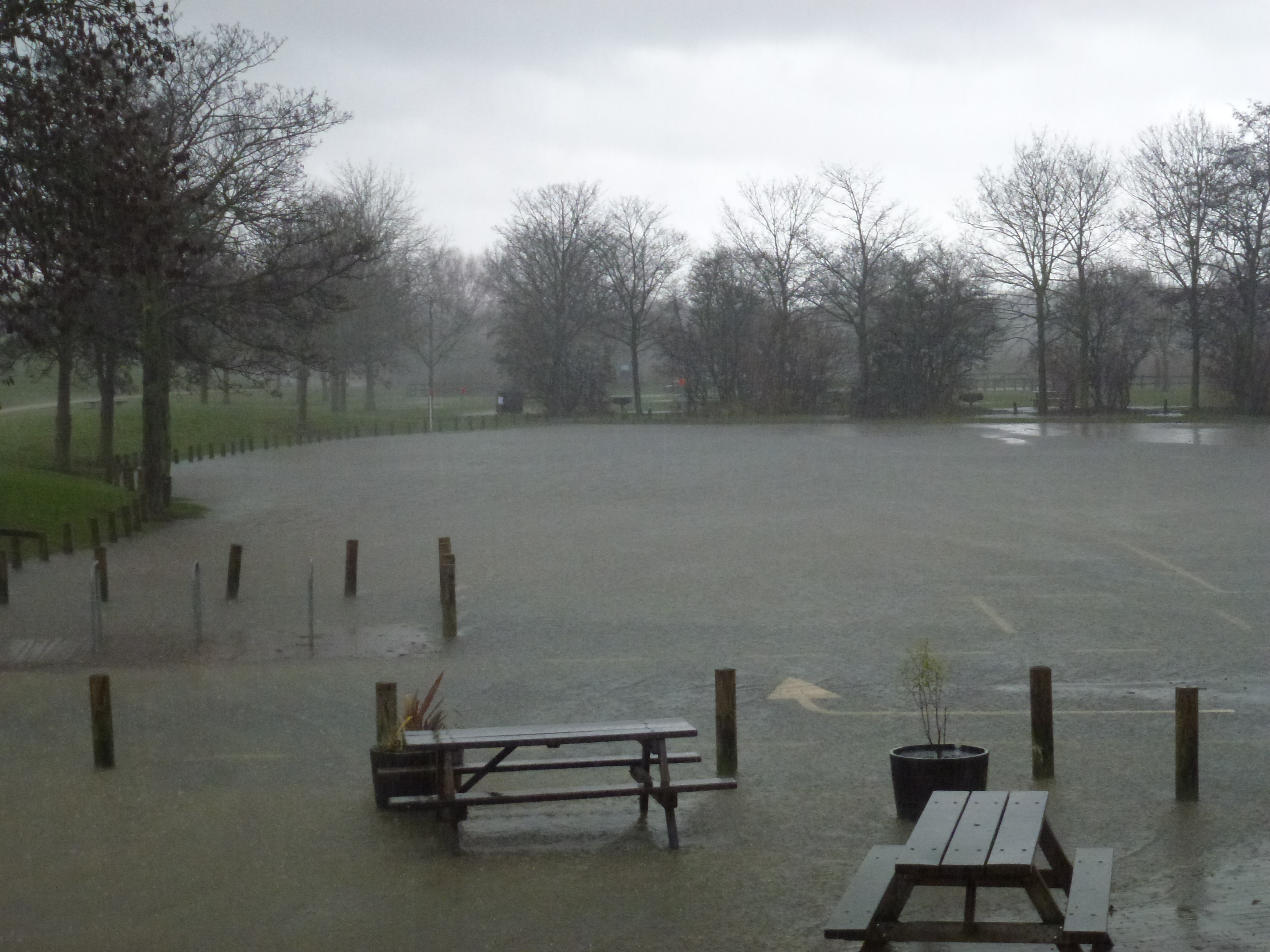
Heavy rain and thunderstorms could bring flash flooding to Mason and Deerfield Township on Thursday, Sept. 10. The heaviest impact is expected during the Thursday morning commute, with storms continuing into the afternoon.
The National Weather Service (NWS) in Wilmington issued a hazardous weather outlook for Warren County at 2:43 a.m. Wednesday, Sept. 9, warning that heavy rainfall Wednesday night into Thursday morning could lead to flash flooding. The outlook also flagged repeated rounds of storms Thursday that could produce additional flooding.
FOX19 designated both Wednesday and Thursday as First Alert Weather Days for the Tri-State area, citing the possibility of strong storms.
What to expect and when
Late Wednesday afternoon into early Wednesday evening, a few strong to severe thunderstorms are possible, according to the NWS. Strong to damaging winds pose the greatest threat during that window.
Rain picks up overnight. The NWS forecast for Mason shows an 80% chance of precipitation Wednesday night, with a low around 70°F.
Thursday morning brings widespread rain. FOX19 reported the biggest impact will be felt during the commute, with several rounds of showers and thunderstorms possible throughout the day. Some storms could become strong. The heaviest rain is expected around noon Thursday before tapering through the afternoon.
The NWS forecast puts Thursday's chance of precipitation at 70%, with a high near 79°F. Showers remain likely into Thursday evening, with a 60% chance of precipitation and a low around 62°F.
Across the full storm system, FOX19 forecasts 1 to 2 inches or more of total rainfall. The NWS hazardous weather outlook warned that repeated rounds of heavy rain could lead to flash flooding.
When conditions improve
The storm system is expected to fade Thursday evening. Friday's forecast calls for partly sunny skies and a high near 81°F.
No severe thunderstorm watches or warnings had been issued for Warren County as of Wednesday morning. Residents should monitor the NWS Wilmington office for any upgraded alerts as conditions develop.